Amir Simon · 12 October 2026
Researchers Update Avalanche Models as Thaw Cycles Shift Across the Cascades
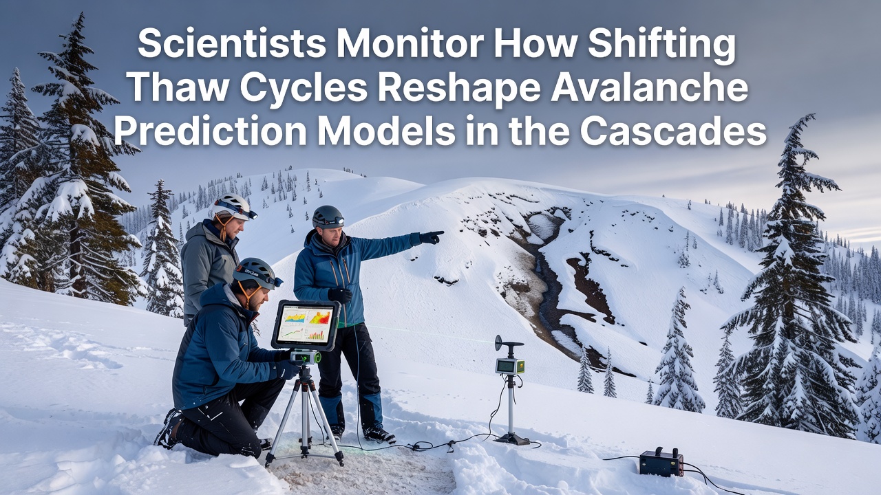
Teams from multiple agencies have increased field deployments across Washington and Oregon mountain ranges since patterns of repeated freezing and thawing began altering snowpack stability in measurable ways. Data collected through 2025 and into October 2026 shows more frequent mid-season warming events that create layered crusts within the snowpack, which in turn changes how slabs release during storms. These observations come from networks of temperature probes, remote cameras, and lidar scans that feed directly into updated forecast algorithms.
Monitoring Networks Expand in Key Corridors
Stations operated by the Northwest Avalanche Center and partner universities now record hourly temperature swings at elevations between 4,000 and 7,000 feet, where the majority of recreational and transportation corridors sit. The equipment captures brief thaws followed by rapid refreezing that produces faceted grains and weak interfaces. Forecasters combine this ground data with satellite-derived snow surface temperature maps to adjust danger ratings on a daily basis. One study released by the University of Washington in late 2025 documented a 22 percent rise in the number of days with above-freezing temperatures between November and March compared with the 1990-2010 baseline.
Model Adjustments Address New Layering Patterns
Traditional avalanche prediction relied on assumptions about continuous cold periods that allowed strong bonds to form between snow grains. With more frequent thaw cycles, those assumptions no longer hold across large portions of the Cascade Range. Modelers have introduced new parameters that account for meltwater percolation and subsequent ice lens formation, both of which reduce shear strength at specific depths. Simulation runs now incorporate variable liquid water content derived from weather station data and downscaled climate projections. These revisions produced revised probability outputs that matched observed avalanche activity during the 2025-2026 winter season more closely than earlier versions.
October 2026 Data Releases Highlight Ongoing Changes
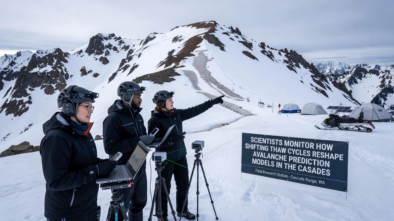
Reports issued in October 2026 by the USDA Forest Service and cooperating researchers showed continued increases in the frequency of shallow wet-snow avalanches at mid-elevations. The data set included measurements from 47 instrumented sites where crust thickness and grain type were logged after each warming event. Analysts noted that events once considered rare now occur in multiple drainages during single storm cycles. Transportation agencies responsible for mountain highways have incorporated the revised outputs into their road-closure decision trees, which now trigger earlier mitigation measures when models flag elevated wet-snow potential.
Integration of Remote Sensing and Field Validation
Lidar flights conducted every two weeks during the core winter months provide three-dimensional maps of snow depth changes that help validate the new model layers. When combined with seismic sensors that detect avalanche movement, the system offers near-real-time confirmation of forecast accuracy. Researchers cross-reference these observations with historical records maintained by the National Weather Service to quantify how much the distribution of avalanche starting zones has shifted upslope. The resulting maps guide placement of additional weather stations in zones that previously lacked coverage.
Challenges Remain in Scaling Observations Regionally
While dense instrumentation exists along major highways and popular backcountry zones, coverage thins in more remote areas where access remains difficult. Forecasters therefore continue to rely on extrapolation techniques that introduce uncertainty when thaw-cycle frequency varies sharply over short distances. Ongoing work focuses on machine-learning methods that blend sparse field measurements with broader atmospheric reanalysis products to reduce those gaps. Coordination meetings held quarterly bring together federal, state, and academic partners to standardize data formats and share calibration results.
Conclusion
Continued refinement of avalanche prediction tools depends on sustained collection of temperature, snow stratigraphy, and movement data across the Cascades. The adjustments already implemented have improved alignment between modeled risk and observed events during recent seasons, and further integration of remote and in-situ sources is expected to narrow remaining uncertainties as thaw patterns continue to evolve.