Rafael Long · 14 September 2026
Altered Snowmelt Dynamics Impact Groundwater Recharge in Utah's Wasatch Range
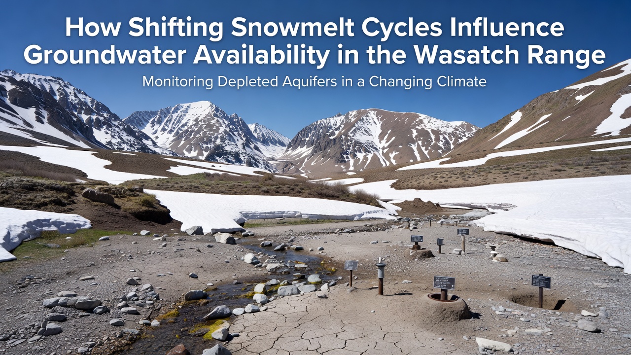
Shifting snowmelt cycles have begun reshaping how water moves from mountain slopes into underground aquifers across the Wasatch Range, and monitoring networks show measurable changes in both timing and volume of recharge. Spring runoff now peaks earlier in many watersheds while total snowpack volumes fluctuate year to year, forcing hydrologists to track how much water actually infiltrates soil layers versus how much travels downstream as surface flow. Researchers at multiple stations have documented these patterns through continuous measurements of soil moisture, stream discharge, and well levels that together illustrate the connection between melt timing and aquifer response.
Seasonal Timing Shifts and Aquifer Response
Warmer spring temperatures cause snow to melt weeks earlier than historical averages, and this advance reduces the window during which soils remain saturated long enough for deep percolation. When melt occurs rapidly, excess water often exceeds infiltration capacity, leading to higher peak streamflows that carry potential recharge away from mountain front zones. Data collected from wells near Salt Lake City and Ogden indicate that late-season groundwater levels have declined in several basins even though annual precipitation totals remained near normal in recent years. Observers note that the mismatch between melt timing and peak plant water demand further influences how much moisture stays available for subsurface storage.
By September 2026, several long-term monitoring sites had recorded groundwater elevations that sat 1.2 to 2.4 meters below the ten-year September average, a pattern repeated across multiple drainages on both the western and eastern slopes of the range. These measurements coincide with earlier disappearance of high-elevation snowfields that historically contributed steady baseflow through midsummer. The earlier loss of snow cover also allows more solar radiation to reach soil surfaces, raising evapotranspiration rates and further limiting the amount of water that reaches deeper aquifer zones.
Soil and Geologic Factors Controlling Infiltration
Wasatch Range geology includes fractured limestone, quartzite, and alluvial fans that create varied pathways for water movement, yet infiltration rates depend heavily on soil temperature and antecedent moisture conditions at the start of each melt season. When snow disappears earlier, frozen ground persists longer into the melt period in some locations, reducing permeability and directing more water into channels rather than aquifers. Studies of soil cores collected at elevations between 2,000 and 3,000 meters reveal that coarse-grained layers near the surface can transmit water quickly once thawed, but finer sediments common on lower slopes slow movement and increase evaporative loss.
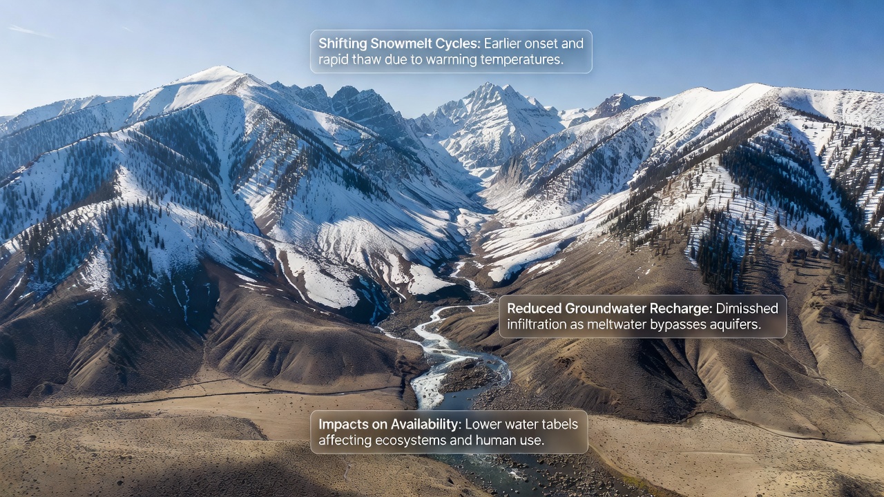
Geophysical surveys conducted over the past decade have mapped preferential flow paths where fractures intersect with unconsolidated valley fill, and these zones appear especially sensitive to changes in melt rate. Faster delivery of water through the system can overwhelm storage capacity in shallow aquifers while leaving deeper regional aquifers with reduced recharge volumes. Hydrologic models calibrated with field data show that a two-week advance in peak melt can decrease annual groundwater recharge by 8 to 15 percent in certain sub-basins, depending on the distribution of precipitation events that follow snow disappearance.
Monitoring Networks and Recent Observations
Continuous data from piezometers and stream gauges maintained by federal and state agencies provide the clearest picture of how recharge volumes respond to changing melt cycles. Records extending back to the 1990s demonstrate that the median date of peak streamflow has moved forward by approximately 12 days since 2000, and this shift correlates with declining late-summer groundwater levels in wells screened at depths of 30 to 80 meters. The USGS Utah Water Science Center has expanded its sensor network in recent years to capture soil moisture profiles at multiple depths, allowing researchers to quantify the fraction of meltwater that becomes recharge versus the portion lost to evapotranspiration or runoff.
Additional measurements from weather stations operated by Environment and Climate Change Canada, applied in comparative studies of similar mid-latitude mountain systems, confirm that earlier melt seasons reduce the overlap between snowmelt and periods of high soil permeability. Those comparisons help isolate the role of temperature-driven timing changes from other variables such as total winter precipitation. In the Wasatch Range itself, September 2026 readings showed that several key index wells had not recovered to their previous September levels despite scattered summer thunderstorms, underscoring the importance of sustained snowmelt contributions.
Implications for Water Resource Planning
Municipalities and irrigation districts that rely on both surface water and groundwater now incorporate updated recharge estimates into supply forecasts, and several have adjusted pumping schedules to account for reduced late-season aquifer contributions. Long-term planning documents reference the observed advance in melt timing when evaluating new well locations and managed aquifer recharge projects. The reality is that continued monitoring will be necessary to distinguish between short-term variability and persistent trends driven by changing snowmelt regimes.
Conclusion
Shifting snowmelt cycles continue to alter the volume and timing of groundwater recharge throughout the Wasatch Range, with monitoring data revealing earlier peak flows, reduced late-season aquifer levels, and measurable differences in infiltration efficiency across varied geologic settings. Researchers continue to refine models that connect temperature, snow disappearance dates, and subsurface storage, while expanded sensor networks provide the observations needed to track these interactions over coming seasons. The patterns documented through 2026 illustrate how changes in mountain hydrology propagate into valley aquifers that support both urban and agricultural water needs.